Hurricane control patent application and google gemini’s inability to provide a map of Hurricane Melissa’s path.
Hurricane control patent application and google gemini’s inability to provide a map of Hurricane Melissa’s path.
See if you can find such a map

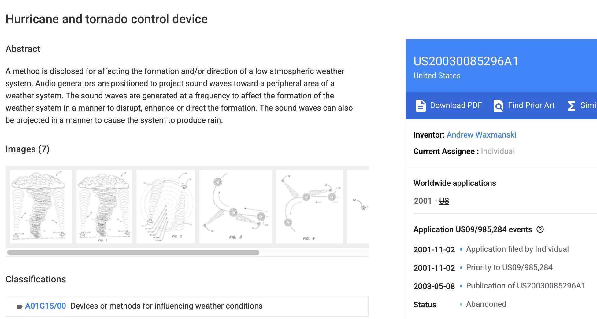
Andrew Bridgen posted this screenshot. I found the full patent application. The online version says the patent was abandoned.

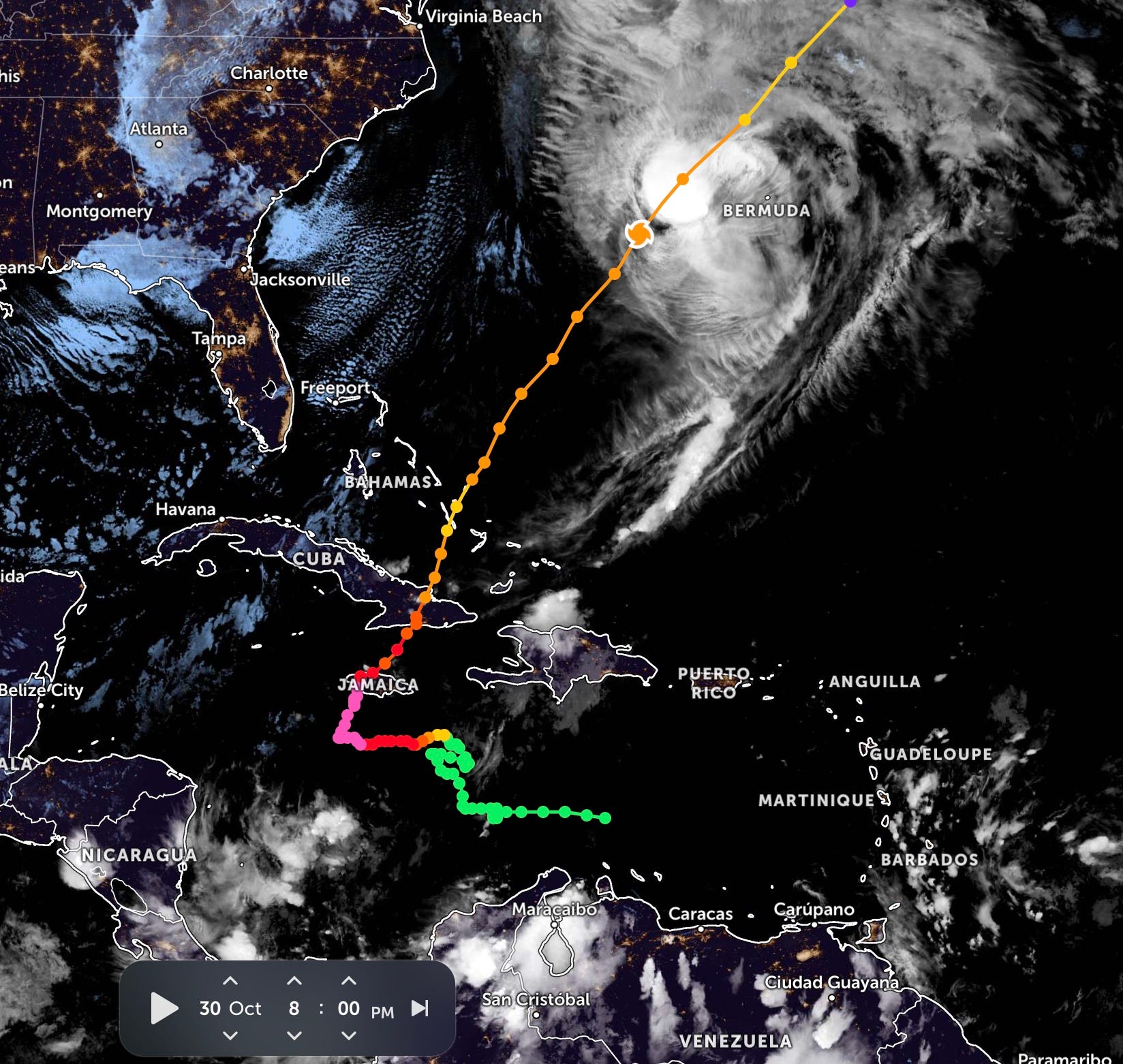
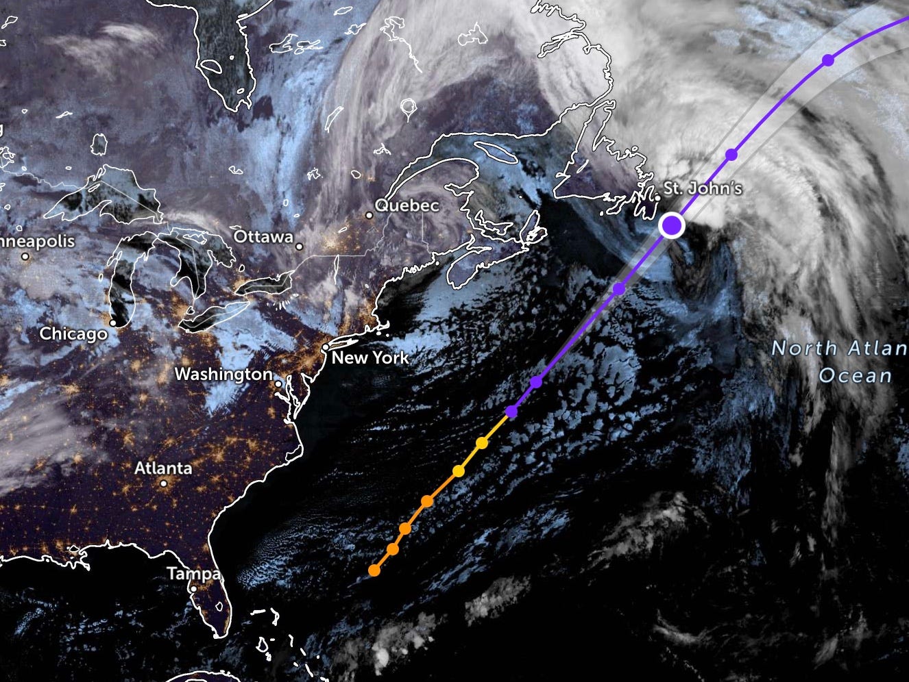
Now I wanted to take a good look at the exact path that Hurricane Melissa took through the Caribbean since it formed. Having heard the story about 1992’s Hurricane Andrew, perhaps the last time Cuba was hit with such a strong hurricane. I had seen such a map a few days ago as Melissa reached Jamaica.
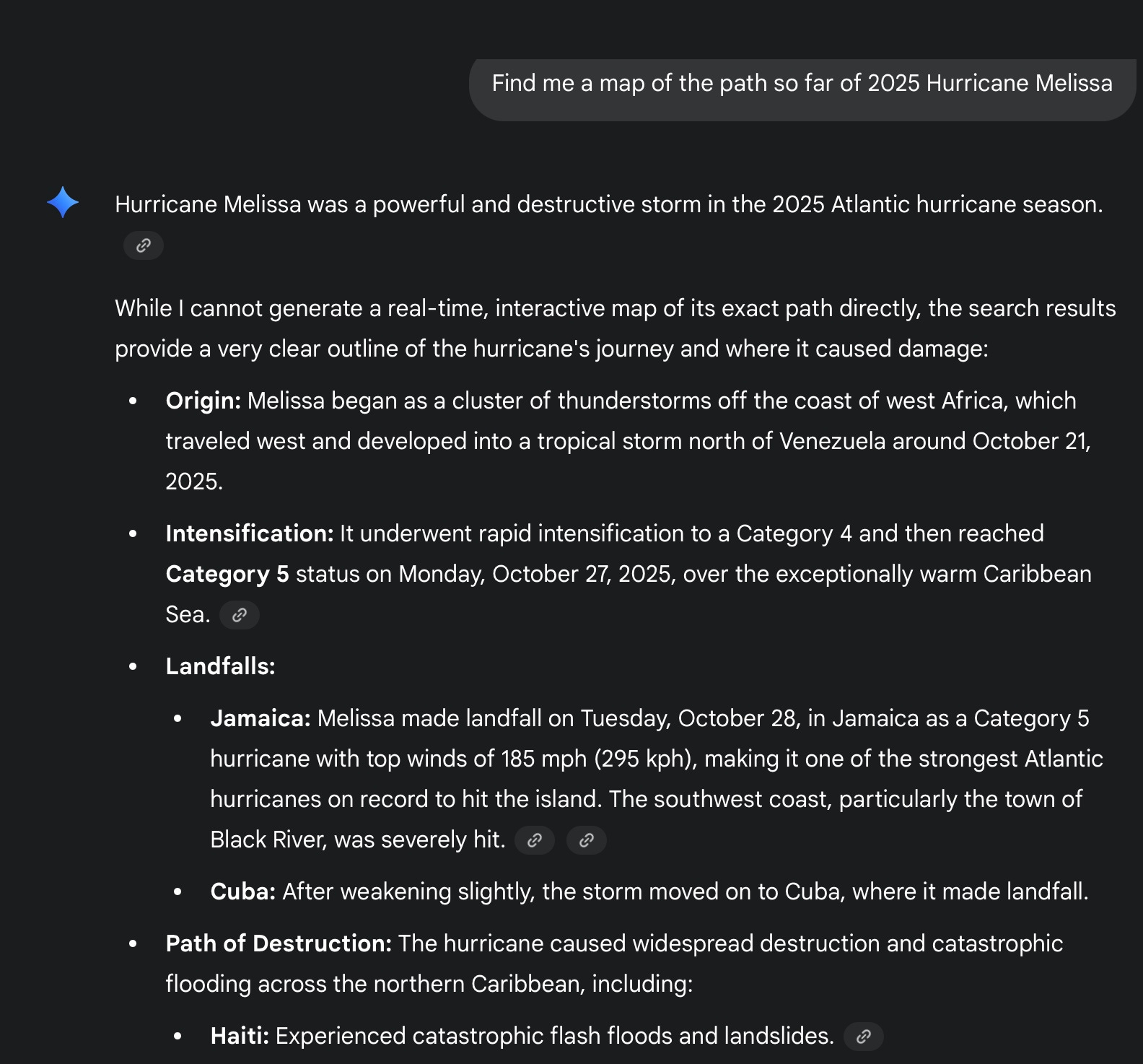
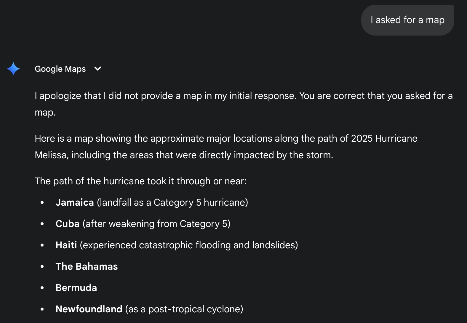
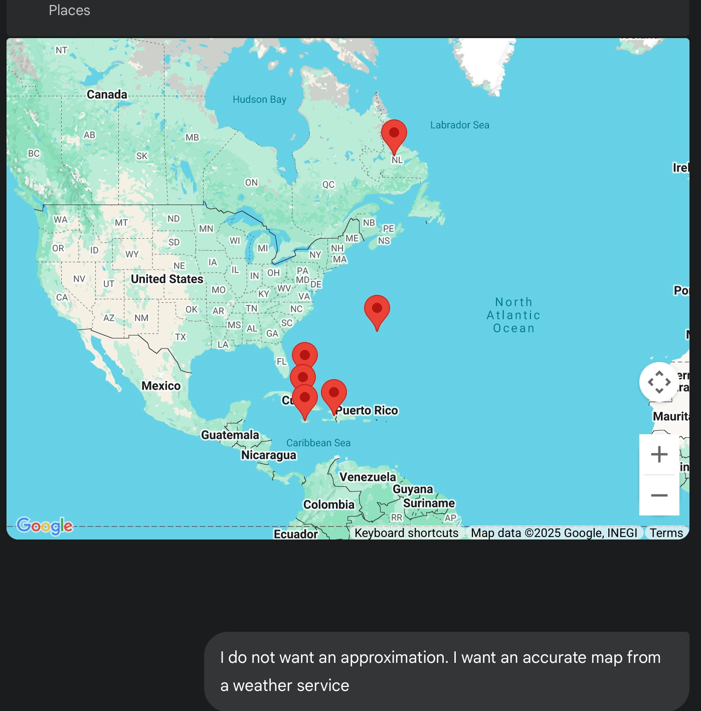
However, I have not been able to find one in many recent articles about the hurricane. I queried google Gemini (since I pay $20/month for the privilege) to find me such a map. How hard could this be? I asked at least six times. Here is some of the latest queries. It simply would not find me one.
Which really makes me wonder why the accurate (not approximate or projected) path of a hurricane is so hard to find?

In a quick search I could not find such a map at the locations above. Can you find an accurate map of the path Melissa has taken?
Thanks to my wonderful readers, I was directed to a good source for the map. See below. The crooked trajectory as it formed and got ready for Jamaica is (I think) typical. After that it has been a straight shooter. No obvious steering or slowing. Hopefully the weather warriors will be frightened to do that again any time soon.
https://zoom.earth/storms/melissa-2025/
Current report above.